As a company, we feel strongly that good science should lead the way for informed decision making. We each bring our passion, expertise, and creativity to bear on every question we face. Together we can create knowledge and develop solutions to move science forward.
Who we are

Christopher Holmes
Principal ScientistMr. Holmes has over 30 years experience with innovative technologies and their application to the risk assessment of chemicals and other substances entering the environment through everyday human activity. He has managed numerous environmental characterization, exposure and risk assessment studies for the crop protection, home & personal care, animal health, and general chemical industries in both domestic and international settings. He actively participates in the advancement of ecological risk assessment methodologies via conference presentations, publications, workshops, and meetings with regulatory agencies. He continues to be involved in the evolution of the ecological risk assessment process for threatened and endangered species in the US. Most recently he has been involved in discussions about microplastics and UV filters in the environment and other issues related to emerging substances of concern and evolving environmental regulation.
Applied Analysis Solutions LLC
Principal Scientist
Waterborne Environmental Inc.
-Fellow & Principal Scientist
-Chief Growth Officer
-Vice President
-Principal Geographer
Remote Sensing and Image Processing
Graduate Certificate,
George Mason University
Compliance Services Intl.
GIS / Remote Sensing Specialist
GDE Systems Inc.
Senior Engineer
MS Geography
Southern Illinois University at Edwardsville
Systems Center Inc.
-Technical Analyst
-Database Administrator
-Systems Analyst
-Technical Support
BA Computer and Information Science
State University of New York at Potsdam
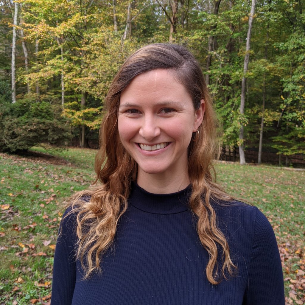
Dana Christian
Geospatial ScientistMs. Christian has seven years of experience in GIS and remote sensing, and contributes her talents in data visualization, mapping, and analysis to the team. She is proficient with the ESRI Enterprise platform, and has experience working with LiDAR and spectral remote sensing data. As a consultant for federal, state, and local governments, Dana utilized geospatial data and LiDAR remote sensing data to model potential storm impacts on urban areas. She has also assisted in managing a complex Enterprise database system, and setting up multiple web-based data collection and data viewing applications for a large water utility. She is currently expanding her knowledge base in remote sensing and environmental GIS at George Mason University.
Applied Analysis Solutions LLC
Geospatial Scientist
Graduate degree in Environmental GIS and Biodiversity Conservation
In progress at George Mason University
Fairfax Water
Geospatial Analyst
Dewberry
Geospatial Analyst
BS Environmental Science
University of Mary Washington
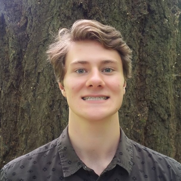
Logan Insinga
Staff Ecological Engineer, EITMr. Insinga provides a unique combination of expertise in machine learning, statistical analysis, engineering, water treatment, and hydrology. He contributes over three years of experience analyzing and modeling environmental data in Python, as well as utilizing GIS software, statistical analysis tools, and machine learning algorithms in a professional research setting. Mr. Insinga understands water treatment principles and designed, constructed, and lab-tested a fully automated benchtop-scale landfill leachate treatment system. He modeled catchment-scale hydrologic systems and restored native ecological habitat. Mr. Insinga received his B.S. in Ecological Engineering from Oregon State University and is a certified Engineer in Training.
Applied Analysis Solutions LLC
Staff Ecological Engineer, EIT
Ash Creek Forest Management
Habitat Restoration Technician
Certified Engineer in Training
B.S. Ecological Engineering
Oregon State University
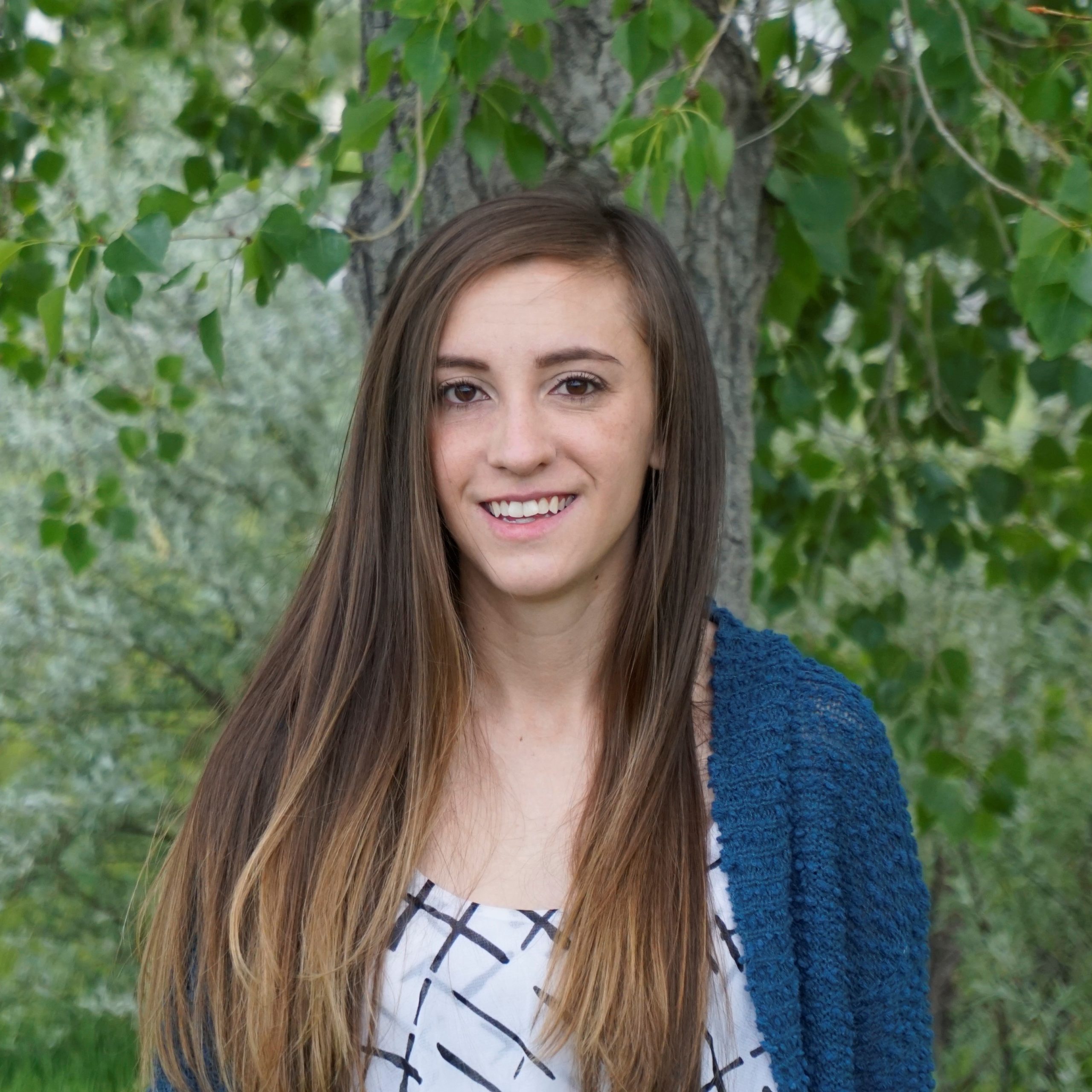
Jillian LaRoe
Geospatial ScientistMs. LaRoe has over 5 years of experience applying remote sensing techniques to support ecological and environmental decision making. She has specialized skills working with broad scale multispectral and synthetic aperture radar (SAR) satellite imagery, machine learning through Google Earth Engine and R, and experience with a variety of GIS software. Jillian has modeled habitat suitability for 150 invasive species across the continental US for federal government programs and optimized modeling efficiency for data-intensive workflows (INHABIT webtool and downloadable datasets). She also mapped emergent aquatic vegetation across the state of Minnesota using spectral imagery and SAR, then applied spatial modeling techniques to investigate hydrologic, anthropogenic, and ecological drivers related to wild rice decline. Her previous work has encompassed forests, grasslands, wetlands, and hydrologic systems.
Applied Analysis Solutions LLC
Geospatial Scientist
U.S. Geological Survey, Invasive Species Science Team
Independent Contractor
M.S. Ecology
Mapping Emergent Aquatic Vegetation in Minnesota
Colorado State University
NASA DEVELOP Applied Sciences Program
Team member and project lead
–Grand Canyon Water Resources
–Minnesota & Texas Agriculture
–Intermountain West Ecological Forecasting
B.S. Ecosystem Science and Sustainability
Colorado State University
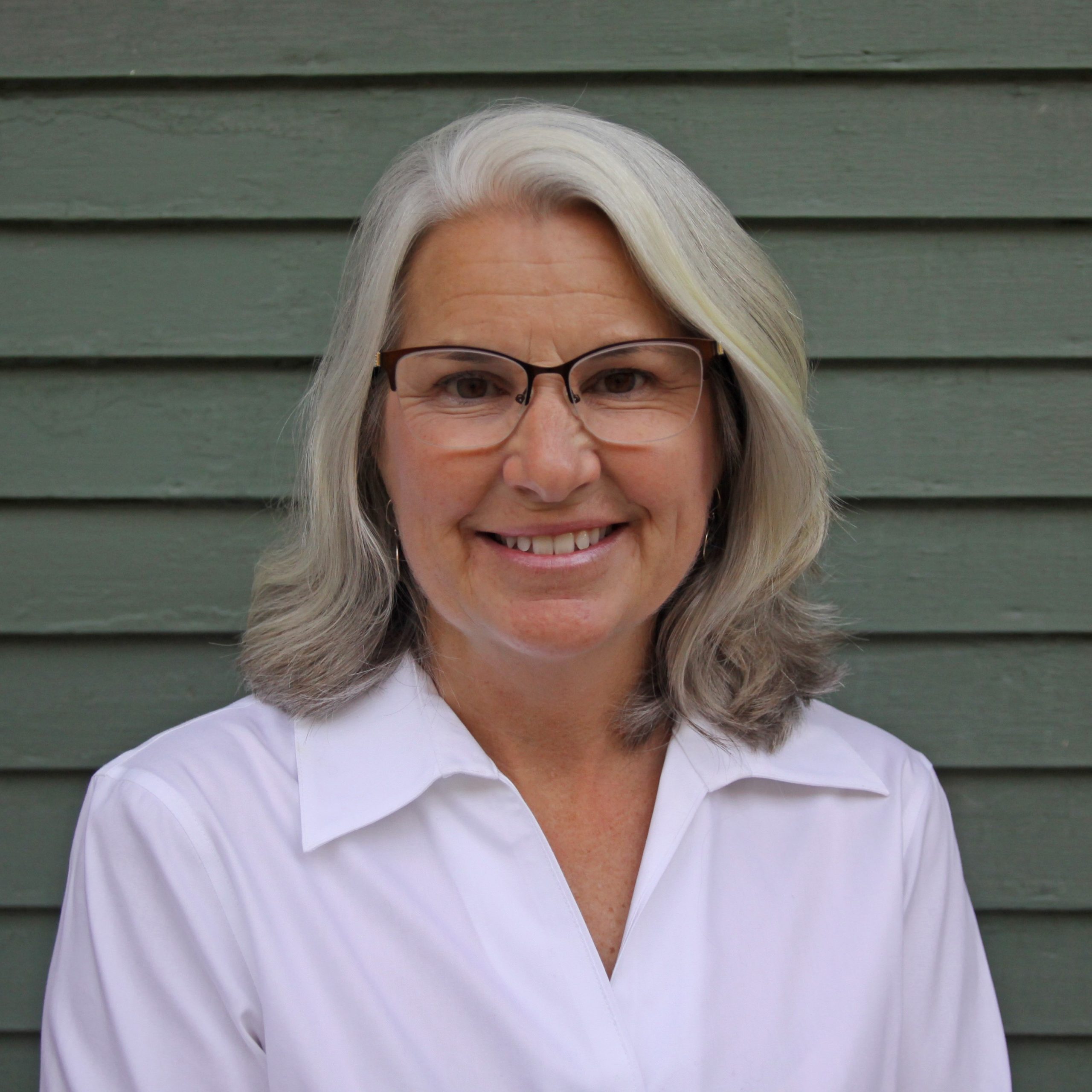
Elizabeth “Biz” Tandy
Environmental ScientistMs. Tandy brings over 30 years of environmental consulting experience and supports clients with proven abilities in hydrogeochemical processes, statistical analysis, technical writing, permit compliance, data research and analysis, and creative problem solving. Biz adds perspective and value to your environmental needs by applying knowledge based on years working with a variety of regulatory guidelines and programs. These include statistical analyses of water/soils data, calculation of statistical limits for NPDES discharge, managing groundwater compliance monitoring programs under solid waste and RCRA regulations, analysis of SDWA data from state agencies and USEPA regional offices, and preparing Groundwater Protection Plans, Stormwater Pollution Prevention Plans, and Nutrient Management Plans for industrial facilities. She has successfully negotiated with state environmental protection agencies for landfill permits, NPDES effluent limits, and reasonable statistical limits for environmental media.
Applied Analysis Solutions LLC
Environmental Scientist
Catoctin Environmental, Inc.
Founder and Senior Hydrogeologist
Waterborne Environmental, Inc.
Geologist
HydroSystems Management, Inc.
Senior Hydrogeologist
ARCADIS Geraghty & Miller, Inc.
-Project Hydrogeologist
-Staff Scientist
Certified Professional Geologist
M.S. Environmental Sciences
University of Virginia
B.S. Geology
James Madison University
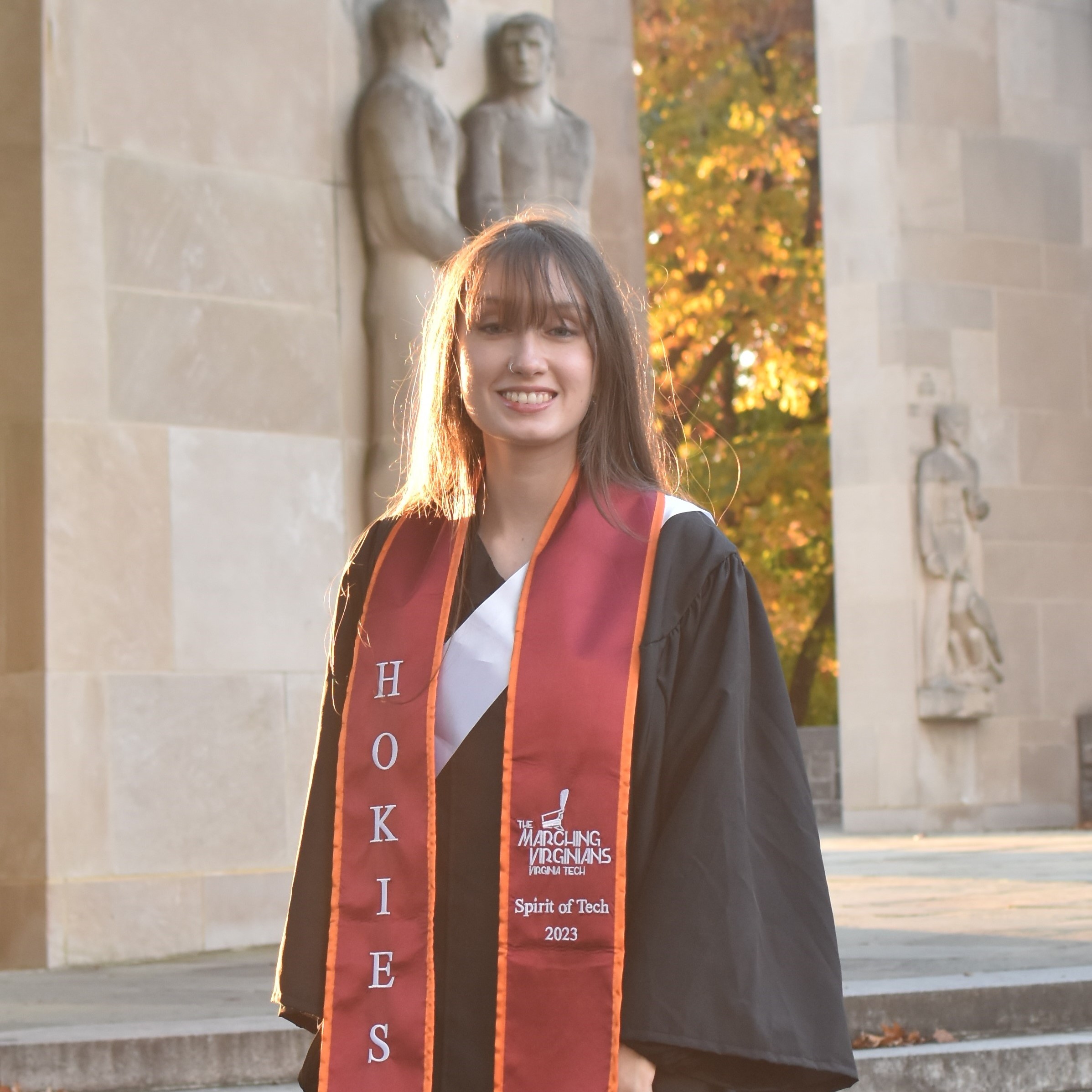
Claire Holmes
Software DeveloperClaire is a recent graduate of Virginia Tech with experience in both software development and remote sensing data/methodologies. She joined the team as an intern to research and develop image-based tools with the Google Earth Engine platform using JavaScript and Python programming languages. Currently, she is working to help clients test and document crop protection models. Claire also designed and maintains the company website and supports other IT related activities within the company.
Applied Analysis Solutions LLC
As-needed Software Developer
B.S. Computer Science
Virginia Tech
Woolpert
Geospatial Technician Intern
Esri
Solution Engineer Intern
Reinventing Geospatial, Inc.
Software Engineer co-op
Applied Analysis Solutions LLC
As-needed Programmer Intern
