Jillian LaRoe recently joined Applied Analysis Solutions as a Geospatial Scientist, bringing her diverse experiences working with broad scale satellite imagery, ecology, species mapping, vegetation characterization, R proficiency, and machine learning. At Colorado State University, Jillian received her bachelor’s degree in Ecosystem Science and Sustainability as well as her master’s degree in Ecology.
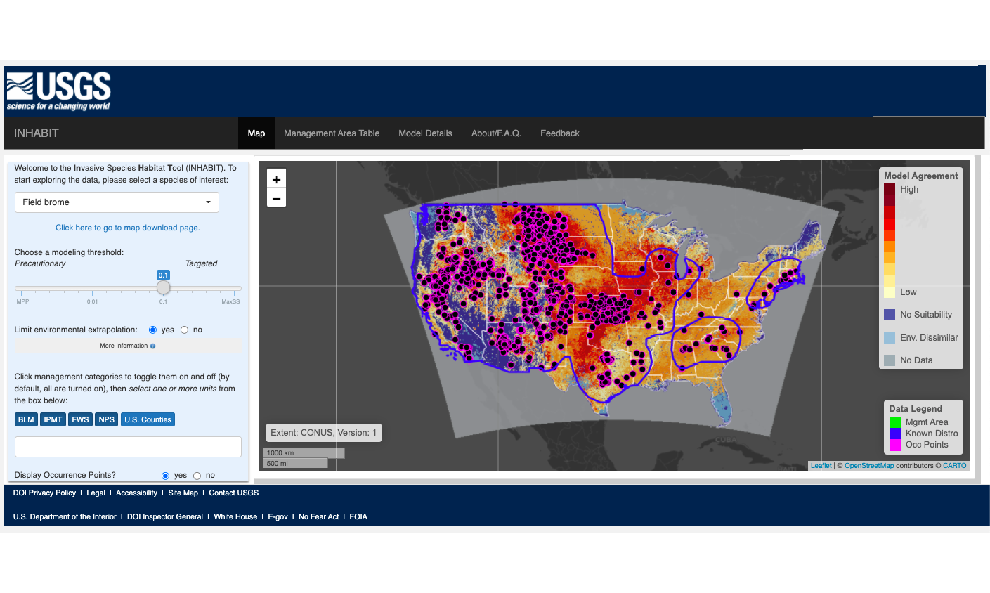
Her previous research leveraged multispectral imagery and synthetic aperture radar (SAR) to map emergent aquatic vegetation and she used spatial modeling techniques to investigate environmental drivers related to species decline. As part of the USGS Invasive Species Science Team, she modeled habitat suitability for 150 invasive species across the continental US and optimized modeling efficiency for data-intensive workflows. This work is publicly available through the INHABIT webtool and downloadable datasets.
Jillian’s 5 years working with Google Earth Engine provide an exceptional foundation for highly efficient landscape characterization studies using readily available satellite imagery “anywhere, anytime”. Coupled with her fluency in R, she adds a new dimension to our capacity to provide clients with robust analyses using cutting edge datasets, statistical analyses, and machine learning techniques.

