Claire Holmes is applying her programming skills to make remote sensing investigations practical and accessible.
She is helping clients understand how real-world landscapes relate to environmental exposure and ecological effects by combining her programming skills with satellite-based remote sensing data and image processing methodologies.
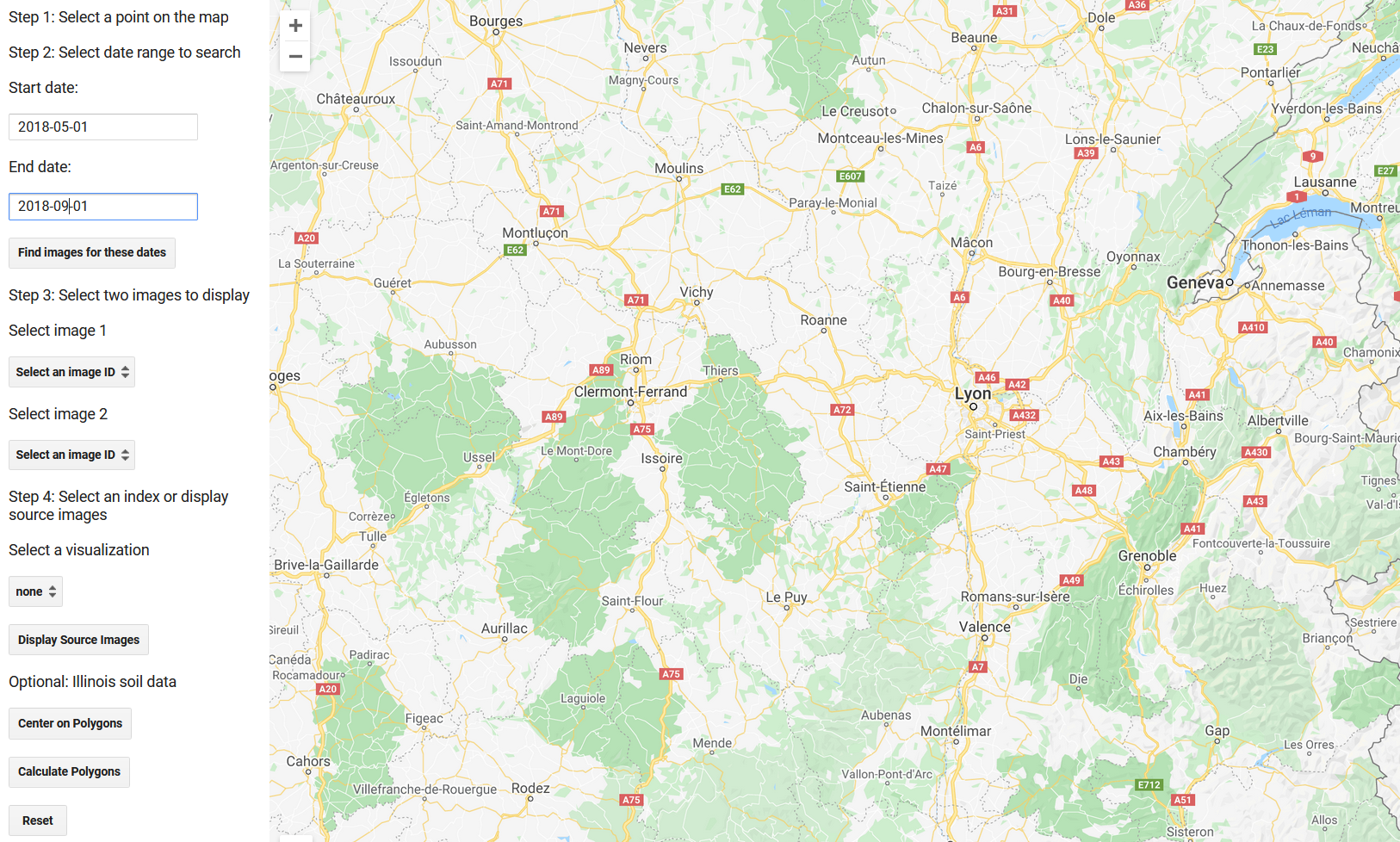
Claire joined the team as an intern to research and develop image-based tools with the Google Earth Engine platform using JavaScript and Python programming languages. Along the way she is learning about Geographic Information Systems (GIS) and how spatially referenced data can provide valuable support for environmental investigations.
A second-year student at Virginia Tech, she is pursuing a degree in Computer Science in the College of Engineering. Claire also designed and maintains the company website and supports other IT related activities within the company.
Claire Holmes brings programming skills to AAS

