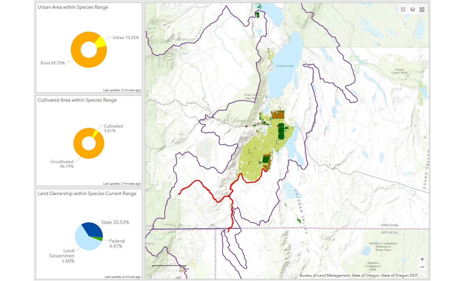
Endangered species often have large and complex ranges, which can make it difficult to examine anthropogenic effects on the species. ESRI #arcgisonline tools can help visualize and analyze potential agricultural impacts on individual species. The highly-configurable Dashboard tool serves as a powerful visual aide and allows users to easily determine areas of higher concern.
Want to turn a boring spreadsheet into an eye-catching and informative map that can easily be shared with colleagues? Ask us how your study can be improved with mapping and data visualization! #arcgispro #datavisualization
https://lnkd.in/dvCPx5h
ArcGIS Online Tools Help Visualize Impact on Species

